

Pembroke city centre puts you in the heart of an Ottawa Valley community, with heritage murals, downtown services and routes to the Ottawa River waterfront.
- Location: Pembroke, Ontario, in the Ottawa Valley.
- Downtown highlight: The city has 36 heritage murals.
- Waterfront access: Reach Waterfront Park from downtown via Albert Street or Alexander Street.
- Walking and cycling: The Algonquin Trail runs through Pembroke, and Kiwanis Way connects two riverfront parks.
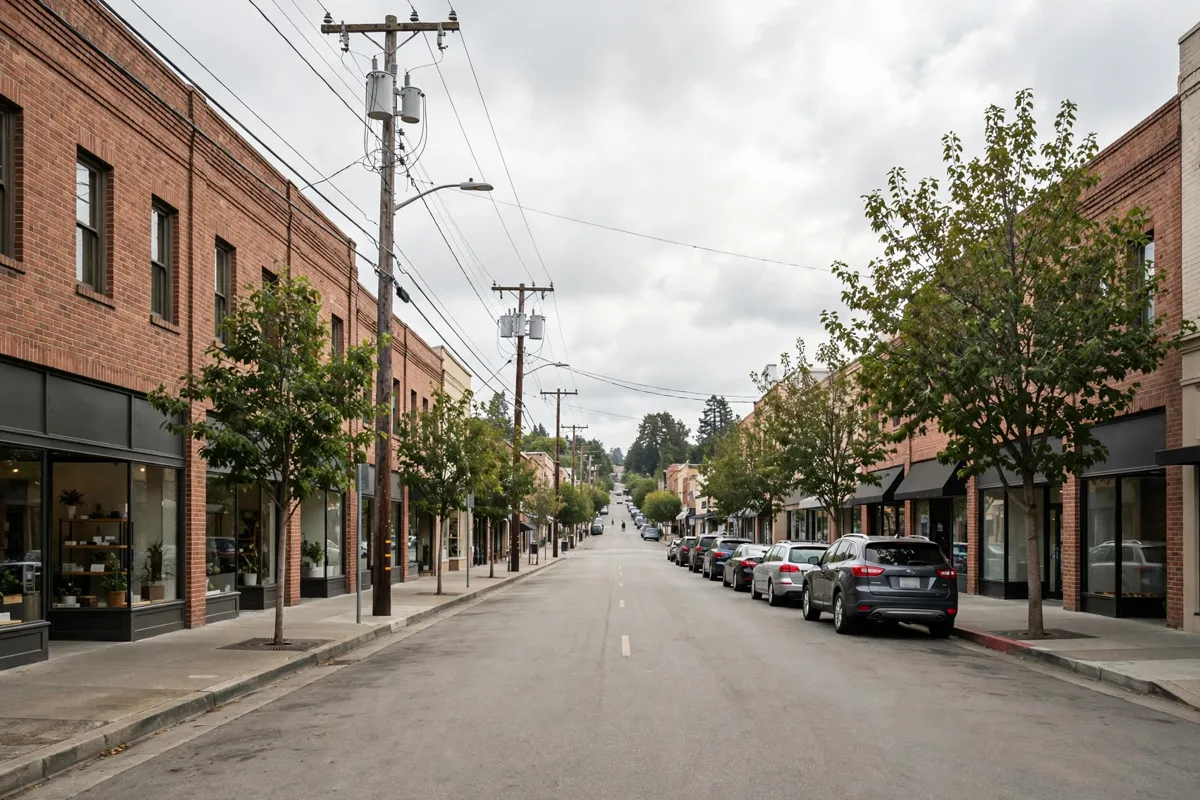
Getting Oriented in Pembroke City Centre
Pembroke city centre gives you access to downtown amenities and a starting point for exploring the city’s murals and riverfront. The City of Pembroke’s visitor information is at 1 Pembroke St. E., and its tourism phone number is 613-735-6821 ext. 1515.
Look for the 36 heritage murals spread across Pembroke. For a local indoor stop or practical amenity, the Pembroke Public Library is at 237 Victoria St. in downtown and offers free Wi-Fi and computers.

Planning a Visit Downtown
Plan downtown time around the murals, then continue toward the Ottawa River at Waterfront Park. The City’s Visit Pembroke page covers local attractions, food and drink, outdoor adventures, family activities, shopping and other visitor topics, including its official city guide.
Waterfront Park is accessible from downtown via Albert Street or Alexander Street. Its features include a boardwalk, marina, amphitheatre, playground, Portage Sundial and walking trails, so you can combine a downtown walk with time by the river.
How do you get to Pembroke city centre?

Driving takes about 4 minutes from Champlain Motor Inn to Pembroke city centre; walking takes about 42 minutes. Choose your route based on how you plan to spend the day, and allow time to continue on foot between downtown and the riverfront.
The City says public parking is available at meters and in lots throughout Pembroke. Metered spaces are found on several downtown streets, including Pembroke Street West between Mackay Street and Hincks Street and Pembroke Street East between Mackay Street and William Street. For local transport and parking context, the guide to getting around Pembroke is a useful companion.
Parking rules, hours and seasonal arrangements can change, so check the official site before you go. Accessible spaces are available at several lots, including Alexander Street, Market Square and the Pembroke Memorial Centre.
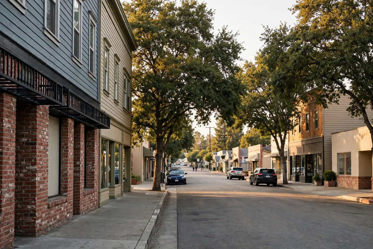
Pairing Downtown with Champlain Trail Museum
Champlain Trail Museum is a local stop to pair with downtown time; the Champlain Trail Museum visitor guide focuses on planning that visit.
For trail connections beyond downtown, Kiwanis Way links Waterfront Park and Riverside Park along the Ottawa River.
If you’re arranging several local stops into one day, the Pembroke one-day itinerary brings together ideas for a day around town.
Practical Notes for Getting Around
Pembroke has both motorized and non-motorized trail options. The Algonquin Trail is a year-round, multi-use route through the city, running from Rankin Street at the east end to Forced Road at the west end. Activities include walking, cycling, snowmobiling and ATV use.
For a non-motorized riverfront connection, Kiwanis Way links Waterfront Park and Riverside Park along the Ottawa River. You can also reach Waterfront Park from downtown via Albert Street or Alexander Street.
FAQs
How many heritage murals are in Pembroke?
The City says Pembroke has 36 heritage murals across the city.
Can you walk from downtown Pembroke to Waterfront Park?
Yes. Waterfront Park is accessible from downtown via Albert Street or Alexander Street.
Where can you find free Wi-Fi downtown?
The Pembroke Public Library at 237 Victoria St. offers free Wi-Fi and computers.
Is there a trail through Pembroke?
The Algonquin Trail runs through Pembroke from Rankin Street to Forced Road and supports activities including walking and cycling.